Much like the intense spinning of a hurricane racing through the Atlantic, our minds begin to swirl with preparation plans as hurricane season reaches its peak. Without tech tools or storm trackers, how do animals weather hurricane-force wind and waves, and what can we learn from the ways they adapt?
Winds in the East
Birds, sharks, alligators, sea turtles and more may not have a weather forecaster giving them minute-by-minute updates on the storm, but they remarkably have somewhat of a sixth sense! From shifts in barometric pressure to subtle changes in water currents, animals are naturally attuned to the world around them, picking up on signals long before a storm makes landfall.
Mist Comin’ In
Birds, like roseate spoonbills, often hunker down in dense vegetation until the winds calm. Or, thanks to their wings, they may take flight and migrate out of the hurricane’s path altogether!
Aquatic animals — like sharks, sea turtles and alligators — take a different approach. As they sense those impending changes in the water, they will migrate away from them or swim to deeper water to escape the turbulent tides.
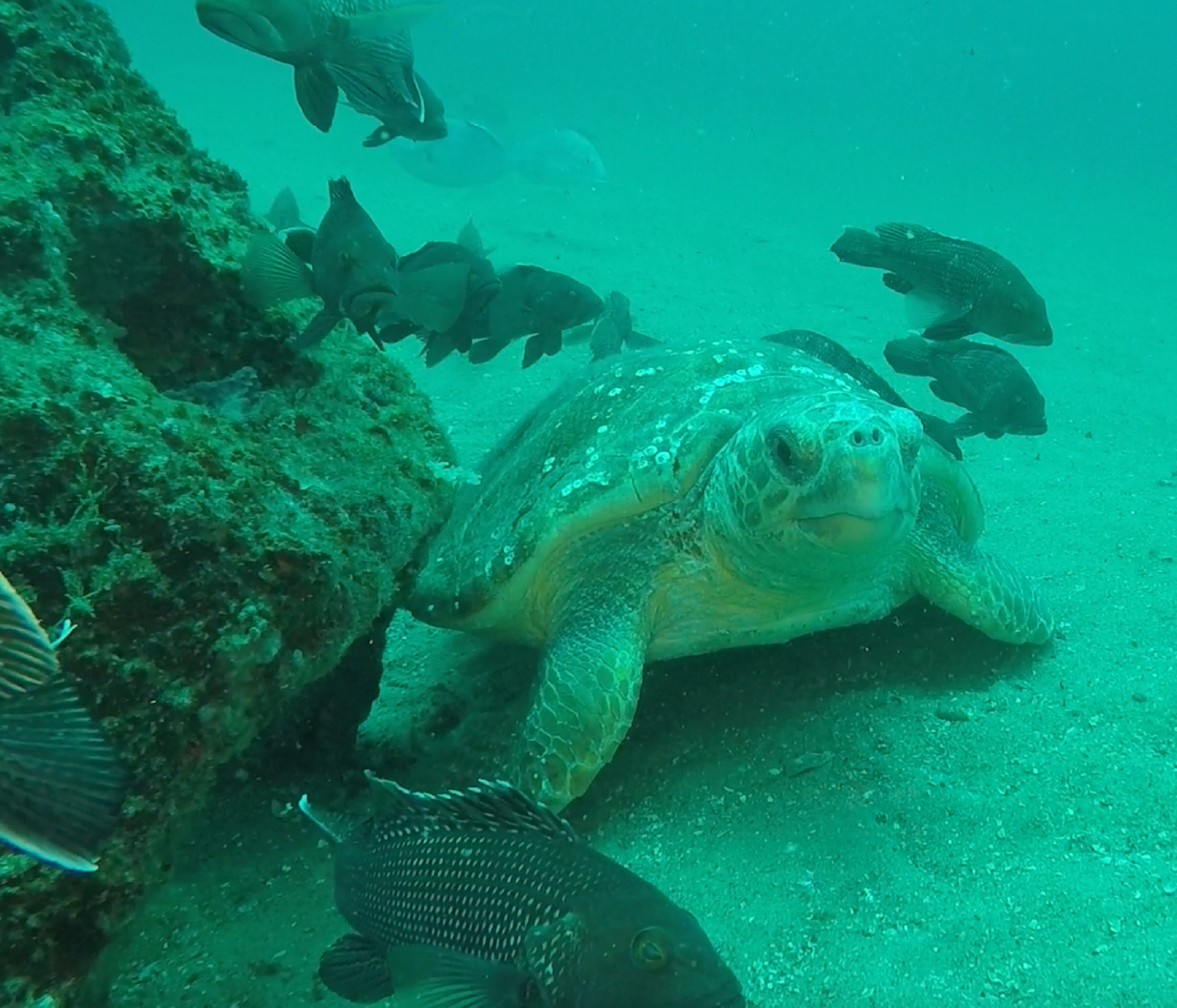
 Loggerhead sea turtles take shelter among reef habitats.
Somethin’ Is Brewin’
Unlike birds who can take flight or sea turtles who can swim into safer waters, we don’t have the luxury of little lead time. Animals don’t have to follow roadways, board up the windows on their home, battle long lines at the grocery stores or find a safe place to park their car! We do, however, have the same two options to consider ahead of a major storm: hunker down or take flight.
The best way to ease hurricane anxiety is to have a plan well in advance. Stock up on nonperishable foods, emergency supplies and extra bottled water at the start of hurricane season and begin researching a plan whether you choose to evacuate or ride out the storm.
About to Begin
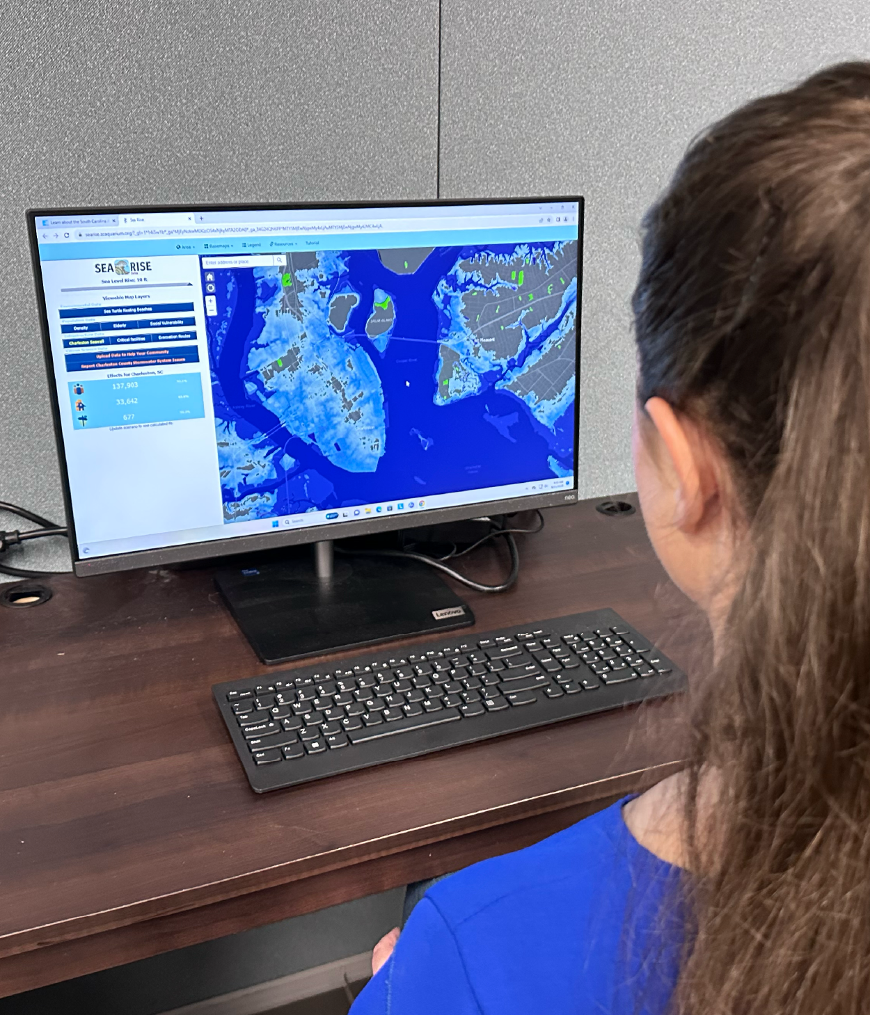
Knowing where your community is likely to flood is a significant step to determine the best decision for you ahead of a hurricane landfall. Heavy rainfall and storm surge exacerbated by incoming tides can cause life threatening flooding quickly. Using our SeaRise Viewer can provide an understanding of how varying water levels will move through your area.
In the SeaRise Viewer, enter your address and then toggle from 0–10 feet of sea level rise. While this software does not account for rainfall, it still visualizes where water is most likely to inundate from storm surge. In addition, it provides vital information on hurricane evacuation routes, too!
 Use the SeaRise Viewer to visualize flooding along our coast.
What’s to Happen, All Happened Before
When Hurricane Hugo made landfall just north of Charleston, South Carolina back in 1989, its detrimental impact left a mark we still talk about today. Decades later, we’re more prepared than ever to face another major storm. By taking inspiration from animal instincts and adding tools like the SeaRise Viewer to your hurricane plan, you can take control, feel confident in your readiness and breathe a bit easier this hurricane season.
The SeaRise Viewer is free to access on desktop and mobile.
Published September 8, 2025


