Students kayaking in the streets to make it to class and healthcare workers wading through knee-deep water should shock spectators. Many of us witness these scenarios, whether online or firsthand, and subconsciously think, “It’s just another day in Charleston.”
We’ve become so accustomed to water inundating our streets that it no longer feels abnormal. Unfortunately, this consistent flooding continually impacts our health, safety and environment. It is a complicated matter to analyze and address, and takes a community of dedicated citizens, scientists and decision-makers to do so. We aim to put the power in your hands and offer you helpful tools without disrupting your daily routine.
Seas Rise and Land Falls
What we are experiencing is the result of two complex factors at play: climate change and land subsidence. Climate change is the long-term shift in temperature and weather patterns and land subsidence is a general term for the downward, vertical movement of the Earth’s surface.
These two factors work in tandem, causing our land to flood more frequently and severely. While we can’t directly stop sinking land, rising seas or severe weather passing through, we can take action to become resilient against these factors in the future… and it starts by collecting scientific data on flooding.
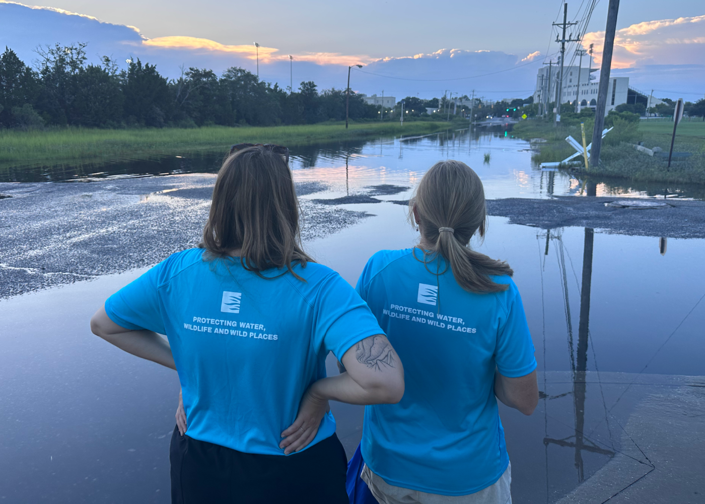
 Citizen scientists collecting data on a flooded roadway
Sea the Solution
You may know of flood-prone areas you encounter during your daily commute or neighborhood knowledge, and that data can make all the difference! Simply snap a photo and upload it (along with the location, time and weather conditions) in the SeaRise Project in the South Carolina Aquarium Citizen Science app.
If you need a place to start, seek out the SeaRise signs around town! Be sure to include the entire sign (including the water level at the bottom) in your photo before you upload it to the SeaRise Project. Researchers use these photos and data to refine their flood models so we can more accurately predict future flooding and plan accordingly.
That’s it — congratulations! You’re now a citizen scientist, and your data collection helps your community become more resilient against sea level rise and flooding!
 Flooded SeaRise sign in downtown Charleston
Hide and Go Sea-k
We have installed SeaRise signs all across Charleston. Look closely, as there may be a sign in your neck of the woods!
- West Ashley Park, walking path near Church Creek
- Corner of King Street and Huger Street
- Corner of Line Street and Hagood Avenue
- Corner of Smith Street and Morris Street
- Brittlebank Park, near the playground
- Jonathon Lucas Street, in front of the Hollings Cancer Center Pharmacy
- Corner of Calhoun Street and Courtenay Drive
- Ehrhardt Street
- Corner of Ehrhardt Street and Doughty Street
- Corner of Bee Street and Cherry Street
- Ashley Avenue, below the pedestrian walkway
You now have the tools to make the “average day in Charleston” look a little bit different for the next generation.
Download the South Carolina Aquarium Citizen Science app and join the SeaRise Project today.
Published February 8, 2024